Linear Infrastructure
Rail, Road & Aviation.
Major transport schemes often span vast distances, cutting through diverse landscape characters. From High Speed Rail (HS2) to strategic highway improvements and airport expansions, we provide the rigorous visual evidence required for Development Consent Orders (DCO) and Public Inquiries.
Visualising the Route
Technical Challenges.
Sequential Views
Unlike static buildings, linear infrastructure is experienced as a journey. We produce sequential views to assess visual impact from a moving driver or passenger's perspective.
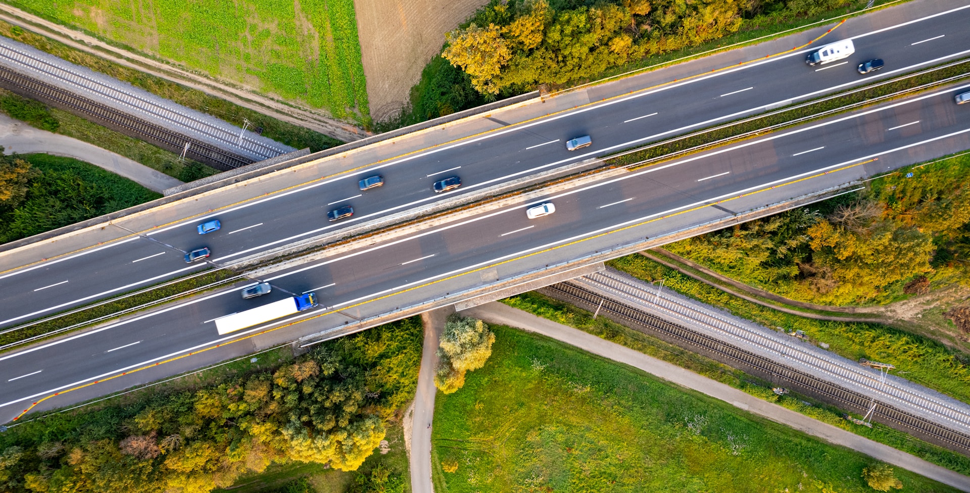
Structures & Bridges
Accurate modelling of viaducts, embankments, and cuttings. We verify how engineering structures sit within the topography of the land.
Mitigation Planting
Demonstrating the effectiveness of screening over time (Year 1 to Year 15), essential for mitigating impact on nearby residential receptors.
Long-Range ZTV
Computing visibility over large areas (5km+ corridors) to identify exactly where the route will be seen from the surrounding landscape.